Democracy Convention
Democracy is coming... to the U.S.A.
Travel
Travel
The large metropolitan area of Minneapolis, with a population of over 3 million people, is well served by highways, train lines, bus lines and airlines. The 2017 Democracy Convention will take place at the Minneapolis campus of the University of Minnesota. The campus is separated into three parts: East Bank, West Bank and St. Paul. The Democracy Convention will take place on the East Bank and West Bank of the Minneapolis campus.
AIR TRAVEL
There are direct flights to the Minneapolis-St. Paul International Airport (MSP) from most major cities - the airport is served by fourteen commercial passenger airlines. If you are taking a cab from the airport, be sure to support local cab drivers working as organized labor to help protect and better working conditions for drivers servicing the airport rather than rely on rideshare services like Lyft and Uber.
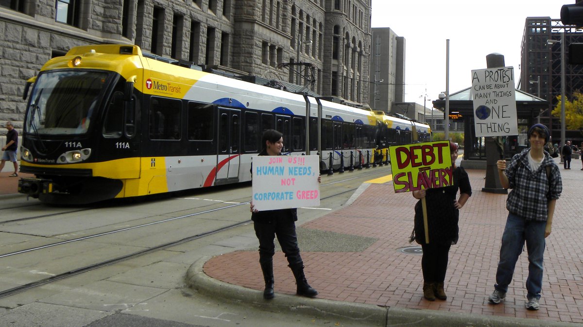
BUS TRAVEL
Travelers can get to Minneapolis from most cities nationwide through Greyhound, and there are many other charter bus companies offering travel to the city. Once you arrive in Minneapolis, the Twin Cities METRO Transit offers a variety of bus routes and covered transit centers connecting routes at popular hubs for easy traveling throughout Minneapolis-St. Paul, many offering direct transit to the University of Minnesota. Check out the METRO transit map featuring all of the bus and train line stops for a better idea of the coverage area.
Suburban transit providers connect nearby towns with the area, and once on campus free shuttle services with wheelchair lifts and bike racks are available. An additional University Paratransit Service is available for individuals with disabilities and can schedule rides to and from more than 200 locations on the University of Minnesota campus. A complete list of campus transit services is available at the University of Minnesota website.
DRIVING
Minneapolis is 4 hours from Madison, 3.7 hours from Sioux Falls, 3.5 hours from Des Moines and Fargo. It is less than 5 hours away from Milwaukee, and just over 6 hours from Chicago, Peoria, Kansas City and Bismarck. Complete driving directions from all major highways and interactive maps leading straight to campus can be found on the University of Minnesota website.
TRAIN TRAVEL
Amtrak services Minneapolis-St. Paul as well as several other Minnesota cities.
BIKE & PEDESTRIAN TRAVEL
Minneapolis is a very bike and pedestrian friendly city, with bicycling resources including free bike racks on Metro transit vehicles, a public bike rental program, and more. There are many bike maps available including the official Minneapolis Bike Map.
The University of Minnesota makes biking and walking easy for visitors - the Campus Biking and Gopher Way Map allows visitors to plan their trip each day equipped with information about bike lanes, prohibited areas, stations for fixing and storing bikes and more.